Analyzing Sediment Runoff in Endangered Communities
SDSU student Oscar Sanchez is mapping sediment plumes that lead to the Tijuana River Estuary and the ocean.
Undergrad Research Spotlight: This is part of a series on undergraduate research opportunities at SDSU and the programs that help support a future pipeline of scientists from diverse and underrepresented groups. Stories in this series include a microbiology researcher and an engineering researcher.
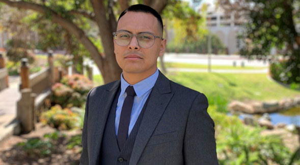
San Diego State University senior Oscar Sanchez grew up in San Diego’s City Heights neighborhood and is no stranger to the beach closures due to sediment runoff that often begins in Tijuana and ends up in the Tijuana River Estuary and San Diego coastal waters.
After taking a watershed analysis class at SDSU, Sanchez discovered an interest in how sediment runoff is affecting the environments we aim to protect, from endangered species in the Tijuana River Estuary to the Pacific Ocean.
To be a part of the solution and begin his research career, Sanchez, a first-generation college student and transfer from San Diego Mesa College, reached out to Trent Biggs, an SDSU geography professor focused on water quality and environmental impacts of urbanization. Together, they are working hands-on at the estuary and along the coast of the U.S.-Mexico border.
A geography major with an emphasis in geographic information science and technology, Sanchez is using satellite imagery to create an early detection system for plumes, polluted water masses caused by major storm events. Sanchez hopes this system can someday alert the public on where they can find water that does not contain harmful runoff. His research is funded by two scholarships he received from NOAA Center for Earth System Sciences and Remote Sensing Technologies and from Fostering Opportunities.
“NOAA CESSRST fellowships give students opportunities to develop research skills and make job contacts in the areas of climate, water, and coastal and ocean systems,” Biggs said. “Oscar has outstanding technical and research skills that are a perfect fit, and will help put him on track for a career in science and management of our water and coastal resources.”
The SDSU News Team spoke to Sanchez about his research and future plans.
What sparked your interest in the research you're doing?
Being born and raised here, I've encountered beach closures up and down the coast due to toxins leaking into the water. I've lived in both California and Tijuana, and I’ve seen the differences in our infrastructure status. My personal experiences combined with the discovery of watershed analysis sparked this wonder in what we can do with geographic information systems.
Tell us about a past project that inspired your current project.
Last semester, I made a map of bike trails in San Diego using GPS location. I was able to plot all the potholes on a bike route, creating this interactive pothole warning map. That led to my interest in infrastructure and how sewage lines end up in treatment plants. How we treat our water is really important in Southern California, especially now that we're going into a huge drought. That got me thinking about what we do with the water that flows through our city.
How are you going about your current project?
I’m using satellite images to filter out and capture plumes at the river mouth of the Tijuana Estuary. I’m trying to use the image’s spectral signatures to detect the amount of sediment that exits the river mouth. What we want to know is how much of that sediment offload there is. Using satellite imagery, I can manipulate the image and specifically take out different tones in between, essentially using color filters. I’m trying to create an early detection system for water quality. This system could let the public know where the water is safe from bacteria and sediment runoff.
My role is to see if we can link satellite imagery to the data we have collected on foot. We're gathering data at the Tijuana River Estuary, measuring the bacteria and sediment levels to see if it correlates with the size or activity of a plume. There are endangered species that nest there, so it’s important to measure the bacteria there.
What are your future plans?
After I graduate in the fall, I want to pursue my master’s at SDSU to continue my research with Dr. Biggs. I’d like to study alternative ways we can use remote sensing to detect hazardous products before they hit the coast. I would like to work for the City of San Diego or any department that shares my passion for water quality research and remote sensing. I care profoundly about our water resources and the health of our environment.